
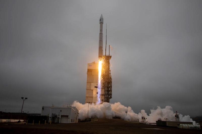
 Landsat Earth observation satellite launched into orbitAn Atlas 5 rocket blasted off from California Monday and boosted a powerful Landsat remote-sensing satellite into polar orbit. The $750 million mission will replace an aging, less powerful satellite and enable continued, around-the-clock observations of Earth and its environment.
"Landsat is our longest lived land remote-sensing program," said Jeff Masek, Landsat 9 project scientist at NASA's Goddard Space Flight Center. "Since 1972, we've taken over 9 million multi-spectral images of Earth's land and coastal regions. Using this record, we can really document and understand the changes that have occurred to land environment, both from human activities as well as natural events.
"I think of Landsat 9 as a Swiss army knife," he said. "It's one basic set of observations that feeds an entire range of Earth science applications and research."
https://www.civilengineering.ai/landsat-earth-observation-satellite-launched-into-orbit/


Post a Comment