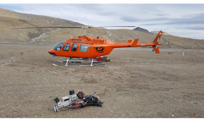
Geospatial Data as a Vital Tool for Protecting Planet Earth
 Geospatial Data as a Vital Tool for Protecting Planet EarthThis specially selected series of articles illustrates how geomatics plays a key role in protecting and preserving the environment. Geospatial data forms an important part of the toolkit of researchers and other experts involved in nature conservation. Check out these examples of how geomatics techniques have been applied in practice around the world.
Creating a Digital Twin of the Earth
An unprecedented scientific effort to Lidar-scan the entire surface of the Earth before it’s too late... that’s how Christopher Fisher, the founder of the Earth Archive, describes his initiative. He started the Earth Archive based on his experience of using remote sensing technologies in Mexico and Honduras. His aim is to better understand the causes and consequences of urbanism and environmental change.
https://www.civilengineering.ai/geospatial-data-as-a-vital-tool-for-protecting-planet-earth/

Post a Comment