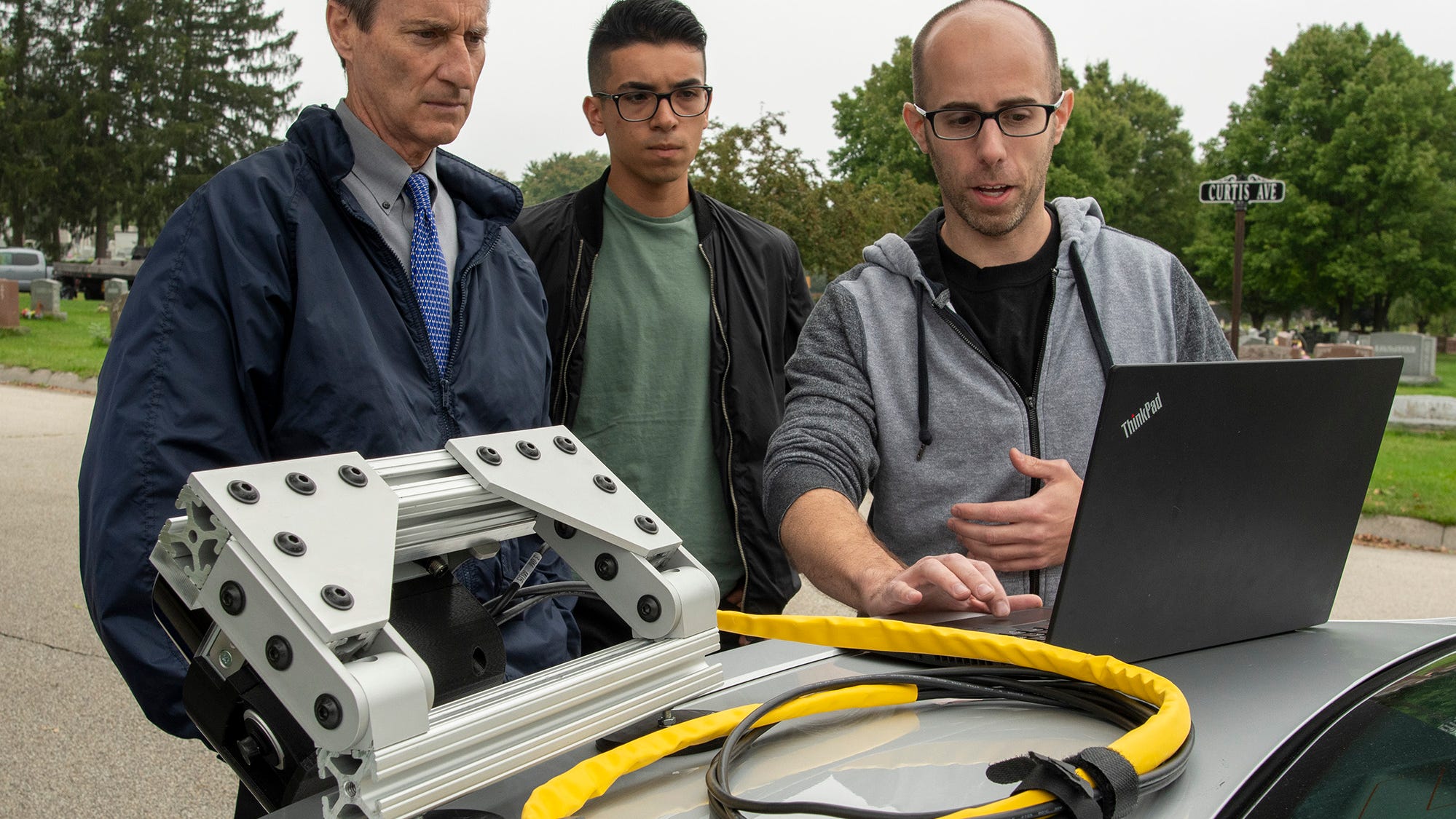
 City tests out device to map road conditions, assess potholes at Hope CemeteryWORCESTER — A system that uses remote sensing technology to help municipalities map out infrastructure issues is being tested on the roads of Hope Cemetery.
 Roadgnar, a company founded by a group of Worcester Polytechnic Institute graduates that focuses in helping municipalities use data collection to improve their infrastructure, is testing the beta version device that they hope will help the city map out and monitor infrastructure conditions for assets such as pavements and sidewalks in real time.
The device uses various sensors to collect data including light detection and ranging (LiDAR) technology. After being attached to a vehicle through a magnet and charged with power from the vehicle, the device captures the physical environment that the vehicle drives around and relays conditions on a 3D map.
https://www.civilengineering.ai/city-tests-out-device-to-map-road-conditions-assess-potholes-at-hope-cemetery/

Post a Comment