
Showing posts with label Digital Twin. Show all posts

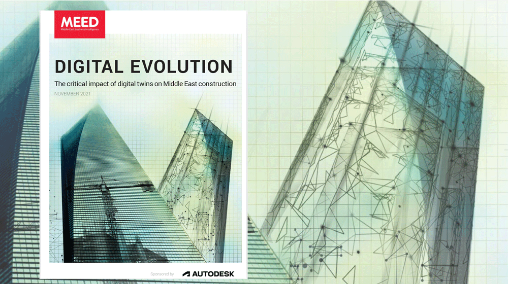
Impact of digital twins on Middle East construction

December 07, 2021

Impact of digital twins on Middle East construction | MEEDAn exclusive report from MEED in partnership with Autodesk reveals the role of advanced digital and data technologies in innovating project delivery


The Middle East construction sector has been painfully slow to evolve and adapt its processes to take advantage of an ever-growing range of digital technologies.


Click here to download the full report


This is changing. With its potential to deliver significant savings in project delivery time, materials and costs, building information modelling (BIM) – three-dimensional digital representations of a project that can be accessed and updated by multiple stakeholders – has gained widespread acceptance in the industry.


But the digitalisation journey does not end with project delivery. Data collected from the integrated workflows and information sharing on BIM models used during the design and construction process can be layered with real-time operational data to create a ‘digital twin’ of the development.


“A digital twin not only looks like the asset, it also behaves like the real asset,” says Anas Bataw, director of the Centre of Excellence in Smart Construction (CESC) at Herriot Watt University – Dubai.


“Digital twins can provide current information on a building’s performance, its subsystems and how it is being affected by occupant behaviour.”


A two-way connection between the digital and physical asset is enabled by sensors, while advanced technologies such as artificial intelligence (AI), machine learning and the internet of things (IoT) give digital twins the capacity to learn, update and communicate with their physical counterparts by exchanging data throughout the asset’s lifecycle.


“Digital twins can also fill data gaps and make predictions on unanticipated scenarios while continuously optimising the operational performance,” says Bataw. “In essence, a digital twin is much more focused upon assets performance than a traditional BIM model.”


The potential for digital twins to enhance asset management is being recognised in the hospitality sector. Used effectively, digital twins promise to not only allow project owners and operators to ensure that their assets are running efficiently and safely, but they also ensure that users, such as guests in a hotel, workers in an office or residents in a residential development, have a smooth and seamless experience.
https://www.civilengineering.ai/impact-of-digital-twins-on-middle-east-construction/

HYDROINFORMATICS: REDEFINING WHAT’S POSSIBLE FOR WATER UTILITIES

November 26, 2021

Hydroinformatics: Redefining What’s Possible for Water UtilitiesAs the water sector continues to scale smart water solutions, hydroinformatics is a powerful force helping utilities to transform how they manage water.


What is Hydroinformatics?


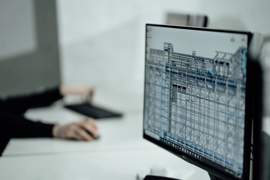
Hydroinformatics engineers combine multidisciplinary experience with optimization and hydraulic modeling skills, a deep understanding of the water cycle and a passion for using data to improve the urban watershed for local communities. They leverage expertise from traditional civil and environmental engineering disciplines, machine learning, control theory, and even sociotechnical systems, to maximize the potential of digital technologies and identify innovative approaches to solve age-old challenges.


Hydroinformatics engineers develop and implement algorithms and analytics that give water operators more visibility into system performance, to help prevent disruptions, identify efficiencies and make better decisions. They analyze challenges to devise custom, highly configured algorithmic solutions and help implement, test and refine them to create a real-time decision support system.


RELATED: How to Create an I&I Model


By comparing the utility’s day-to-day performance against historical data, these engineers help water operators detect and even predict events, and discover new ways to deliver water, energy, and cost savings.


As climate change impacts and environmental issues escalate, hydroinformatics engineers play an even more critical role in redefining the possibilities for water.


To discover more about hydroinformatics, Water & Wastes Digest spoke to Bryant McDonnell, senior manager of Hydroinformatics and Process Control at Xylem to discuss how his team is moving the dial for utilities, empowering them to deliver remarkable cost savings and new levels of efficiency and control.
https://www.civilengineering.ai/hydroinformatics-redefining-whats-possible-for-water-utilities/

What is BIM, And How Are Digital Twins Changing the Game?

November 26, 2021

What is BIM, And How Are Digital Twins Changing the Game?There’s been a lot of talk about BIM, and how it’s changing the built environment industry, but what is it? And how is it transforming the way construction, development and design is happening? Just read our short summary and learn everything you need to know about the opportunities in this space!


Building Information Modelling (BIM) simply means creating and managing digital information about a building, a group of buildings or infrastructure – but, actually has plenty of different ways in which it is implemented.


BIM has what are called “Maturity Levels” which tell you how advanced a form of BIM a project is using, and below is a breakdown of how these are broken down:


Basic level (Level 0) – includes unmanaged Computer Aided Design (CAD), alongside text-based information about the project.

Level 1 – expands on Level 0 by using some 3D CAD and a common data sharing system

Level 2 – was the minimum for all publicly procured projects until 2018 and puts building information into a 3D environment, with data attached to it and divided into specialist areas. There’s now UK BIM Framework which is the new standard for public projects

Level 3 – uses an integrated approach, where all vital construction information is within a single online project model

Level 4 – encompasses the above, but goes one step further incorporating social outcomes and wellbeing into the picture as well


BIM uptake has been really speeding up, although it still hasn’t been fully adopted. With a 2020 survey saying that 73% of respondents are using BIM this may seem a way off, but in comparison to the 31% in the 2012 survey, it’s a huge leap!

So with BIM covered now, what are “Digital Twins” and how do they fit into this? Basically, they serve as a real-time counterpart to the built asset – enabling full visualisation of a project. The term was defined by NASA as a way of improving their modelling of spacecraft in 2010 and represents the next frontier for digital technology in construction.


The use of this technology has some really major benefits for both delivering and managing projects, with their use of continuous data feeds ensuring that project managers know exactly what is going on with a structure or scheme.


Digital Twins can be used to explore the interaction of people with the built environment; allowing for greater safety, better energy usage and improvements to be made in user experience.


They also enable up to date augmented reality models to be made which allows everyone involved in the project to be able to get an accurate overview. And this technology doesn’t just apply to single projects, for example in modeling city environments with better detail than ever before!


To find out more about Digital Twins, see their most popular myths debunked and reveal how they plan to avoid the pitfalls that BIM has faced, join our upcoming event that we’re hosting with our friends at 3DRepo!
https://www.civilengineering.ai/what-is-bim-and-how-are-digital-twins-changing-the-game/

Expo 2020 Dubai: How RTA will prevent traffic jams around the site

October 14, 2021
Expo 2020 Dubai: How RTA will prevent traffic jams around the site
Expo 2020 Dubai: How RTA will prevent traffic jams around the siteTwo state-of-the-art centres, powered by artificial intelligence, were built for the mega event.


With millions expected to visit the world’s greatest show, Dubai’s Roads and Transport Authority (RTA) is making sure traffic from all directions will go smoothly and public transport easily accessible to all.


“We have charted out a plan for managing the traffic movement on the surrounding roads and junctions during weekdays and weekends, as well as days witnessing mega events throughout the period of the Expo,” Mattar Mohammed Al Tayer, director-general and chairman of the board of executive directors of the RTA, said on Saturday.


Alternative plans have also been mapped out for all possible scenarios that may cause traffic snarls.


Instant traffic diversions have been prepared in the event of road closures around the area. Communication and response plans for emergencies have also been drawn up.


To implement its mobility and traffic management plans, the RTA has constructed the Enterprise Command and Control Centre and the Intelligent Traffic Centre in Al Barsha — both of which are the latest of their kind in the world, Al Tayer said.


Enterprise Command and Control Centre


Powered by smart technologies, the Enterprise Command and Control Centre (EC3) is one of the biggest and most advanced control centres.
https://www.civilengineering.ai/expo-2020-dubai-how-rta-will-prevent-traffic-jams-around-the-site/

Observations confirm that aerosols formed from plant emitted compounds can make clouds brighter

October 14, 2021
Observations confirm that aerosols formed from plant emitted compounds can make clouds brighter
Observations confirm that aerosols formed from plant emitted compounds can make clouds brighterAn observational study by Finnish research groups confirms a prevailing theory that volatile organic compounds emitted by vegetation form atmospheric aerosols which make clouds more reflective. Brighter clouds reduce the amount of solar radiation reaching the Earth's surface, thereby cooling the surface. Emissions of organic compounds from vegetation increase with increasing temperature, thus having the capability to slow down climate warming.


Atmospheric aerosols scatter and absorb solar light, and influence the formation of clouds. However, these processes are not yet completely understood, which leads to significant uncertainties when estimating the role of aerosols in climate change. In order to reliably estimate the effect of humans on climate change, we need to be able to separate the effects of natural and anthropogenic aerosols.


The study by Finnish researchers, published in Nature Communications, estimated the impact of volatile organic compounds emitted by boreal forests on aerosol concentration and cloud properties. The analysis was based on aerosol observations at the Hyytiälä SMEAR II station in Finland and remote sensing observations of cloud properties over Southern Finland from NASA's spaceborne MODIS instrument. The observations showed that biogenic aerosols formed from volatile organic compounds reduced the amount of solar radiation reaching the Earth's surface by scattering more radiation back to space. Furthermore, these aerosols increased the amount of cloud droplets and made clouds more reflective. Both processes become stronger as temperature increases, indicating that these natural aerosols can slow down the warming of climate. The magnitudes of the radiative effects of these processes are similar and their combined effect is significant when compared with the radiative effect of anthropogenic aerosols in the boreal region. Therefore, this natural mechanism needs to be considered in more detail in climate model simulations.
https://www.civilengineering.ai/observations-confirm-that-aerosols-formed-from-plant-emitted-compounds-can-make-clouds-brighter/

City tests out device to map road conditions, assess potholes at Hope Cemetery

October 14, 2021

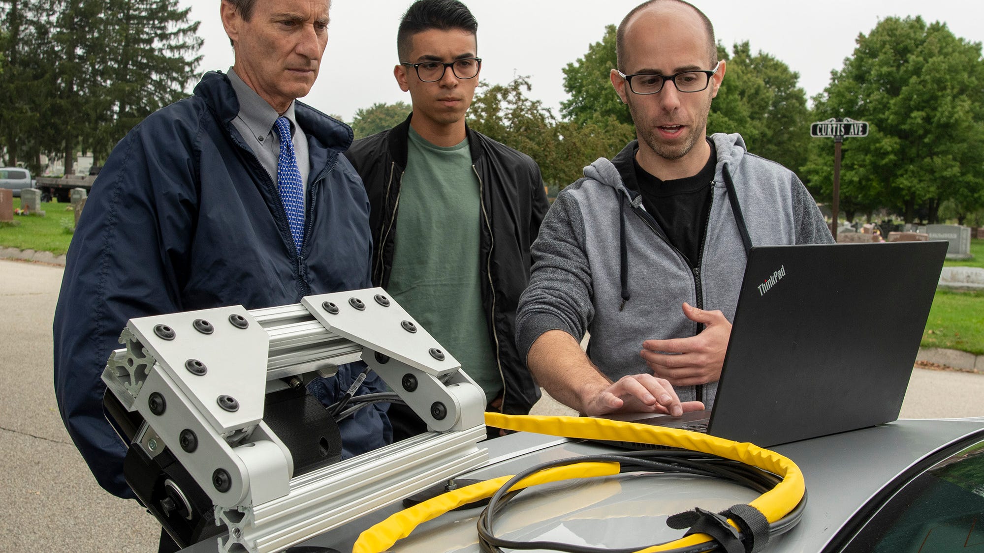
City tests out device to map road conditions, assess potholes at Hope CemeteryWORCESTER — A system that uses remote sensing technology to help municipalities map out infrastructure issues is being tested on the roads of Hope Cemetery.


Roadgnar, a company founded by a group of Worcester Polytechnic Institute graduates that focuses in helping municipalities use data collection to improve their infrastructure, is testing the beta version device that they hope will help the city map out and monitor infrastructure conditions for assets such as pavements and sidewalks in real time.


The device uses various sensors to collect data including light detection and ranging (LiDAR) technology. After being attached to a vehicle through a magnet and charged with power from the vehicle, the device captures the physical environment that the vehicle drives around and relays conditions on a 3D map.
https://www.civilengineering.ai/city-tests-out-device-to-map-road-conditions-assess-potholes-at-hope-cemetery/
 
Copyright © Ai4civilengineering